Help CentreLogin
ElectricityGasBroadbandMobileMoving HouseRewards
Join
ElectricityGasBroadbandMobileMoving HouseRewards
Join
Our Products
  • Electricity
  • Gas
  • Broadband
  • Mobile
  • Rewards
Help and Support
  • Help Centre
  • My Account
  • Outages and Faults
  • Consumer Care and Support
  • Contact Us
About Mercury
  • About Us
  • Investors
  • News
  • Careers
CUSTOMER SERVICE0800 10 18 10
JOIN US or ADD A NEW SERVICE0800 36 98 45
GET OUR MOBILE APP
Get it on Google PlayDownload on the App Store
© Copyright 2026 MercuryTermsPrivacy Policy
  1. Home
  2. /
  3. About Us
  4. /
  5. Renewable Energy
  6. /
  7. Hydro generation
  8. /
  9. TAUPŌ LAKE LEVELS
Taupo Gate 2 1920x1080

TAUPŌ LAKE LEVELS

Lake Taupō has water flowing into it from many sources, but only one river flows out – the Mighty Waikato, New Zealand’s longest river. Lake Taupō provides the primary storage for the Waikato Hydro System. The water level in the lake is generally maintained between the normal operating range of 1.4m (357.25 to 355.85 metres above sea level). This is just 1% of the lake’s total volume. On rare occasions such as flood events or drought the lake level may exceed the normal operating range. You can check out Lake Taupō's Short Term and Long Term levels below.

Press F5 to refresh and view the latest lake levels. Levels are updated every 30 minutes.

Short Term Level

LONG TERM LEVEL

WAIKATO LAKE LEVELS

For Waikato River Flows and Lake Taupo Levels ring 0800 820 082.
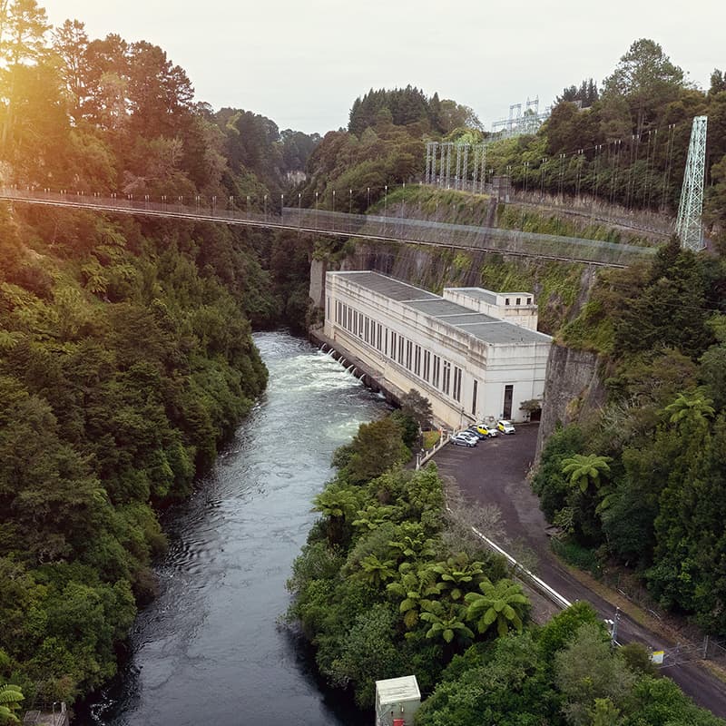
Arapuni 800x800
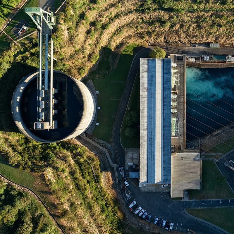
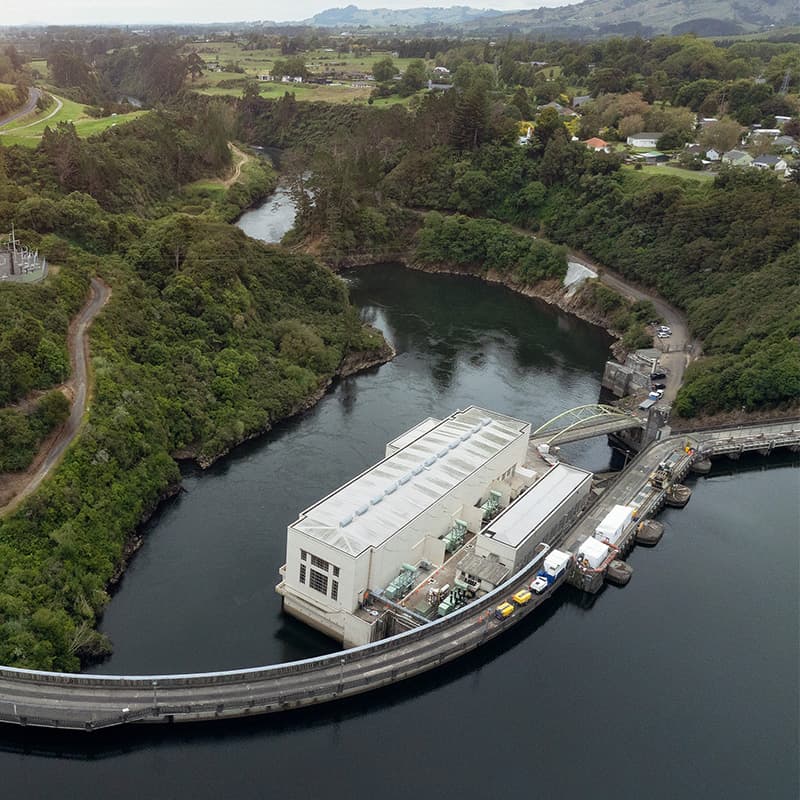
Arapuni

Aratiatia 800x800

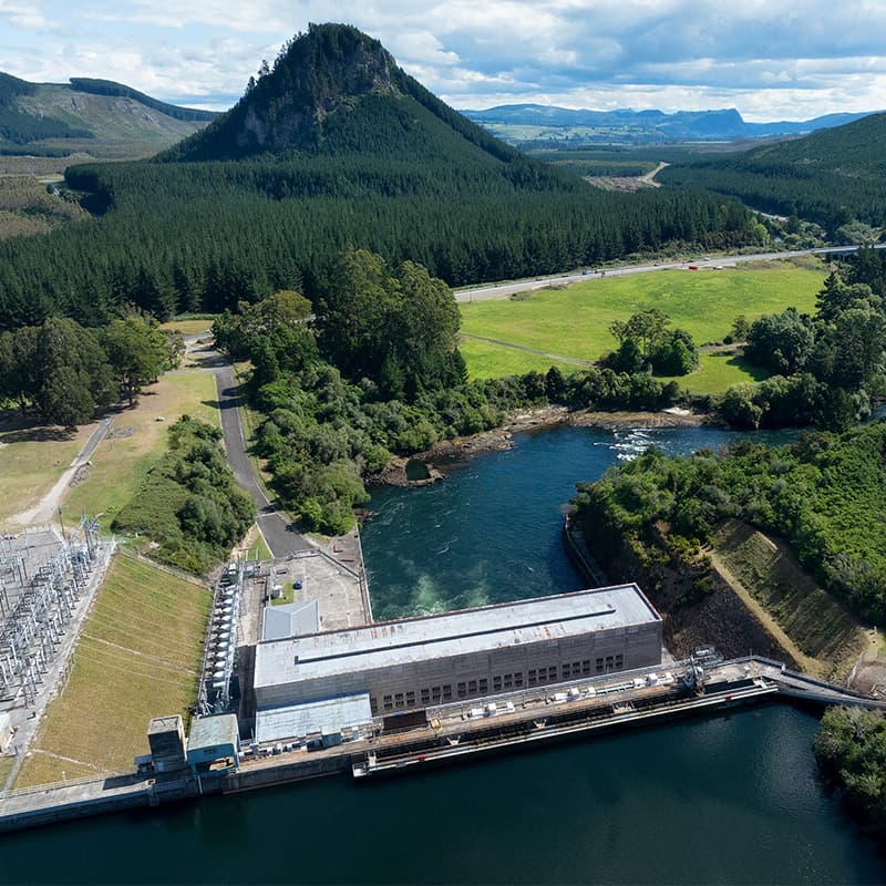
Aratiatia

Atiamuri 800x800

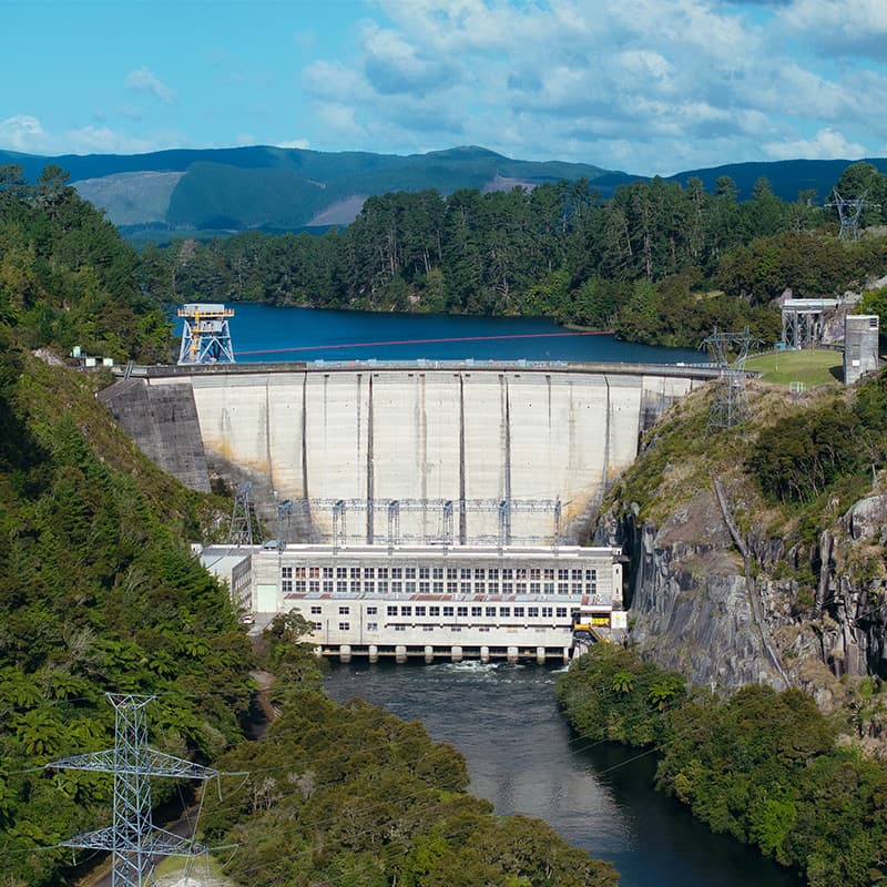
Ātiamuri

Karapiro 800x800

Karāpiro

Maraetai 800x800

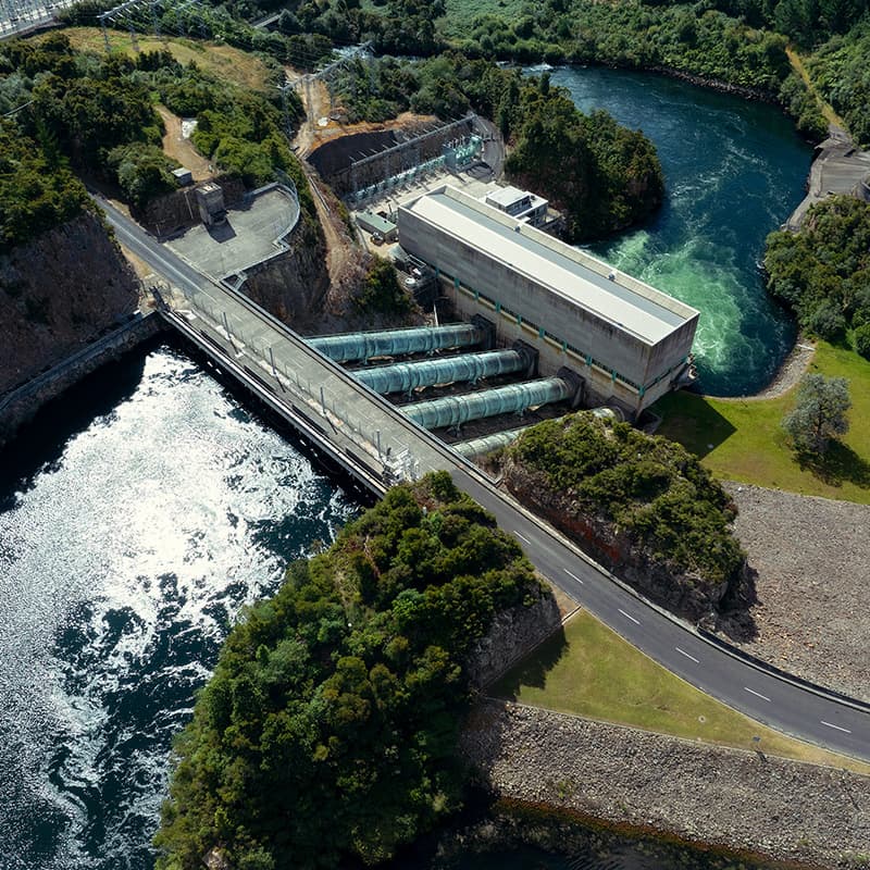
Maraetai

Ohakuri 800x800

Ōhakuri

Waipapa 800x800

Waipāpa

Whakamaru 800x800

Whakamaru